Pirinel Park: A New Conservation Area
The newspaper *Austral Región de Los Ríos* published a feature article on Pirinel Park, an initiative of the Luksic Foundation’s Conservation Division, describing a hike along its trails and its purpose: to preserve and protect these areas in order to leave a legacy of majestic beauty and scientific richness for future generations.
Pirinel Park is located approximately 140 kilometers from Valdivia. It is situated in the Chan Chan area of Panguipulli, near Choshuenco. From the capital of the Los Ríos Region, there are two routes to reach the park: Los Lagos-Riñihue, along the lake, or Panguipulli via the road to Neltume-Choshuenco.
This park is a conservation initiative led by the Luksic Foundation, which spent four years working to bring this project to fruition. It has been open to visitors since February 14, 2026, but is currently operating on a trial basis. It covers 12,000 hectares and features more than 10 kilometers of trails. Upon arrival, there is a visitor center. This is the first stop. There, visitors can access informational materials, and a café is expected to be operational during the second half of the year.
The Tour
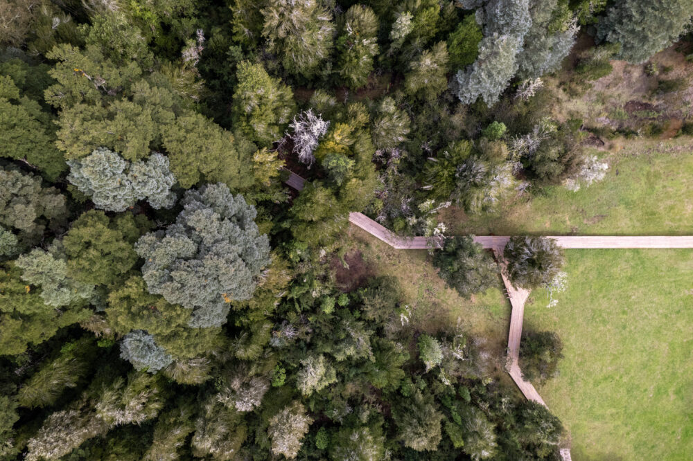
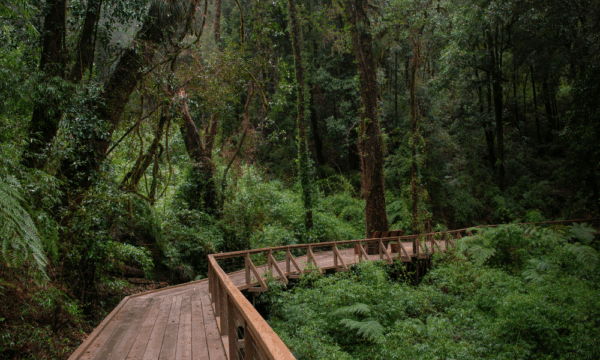
A 524-meter-long wooden boardwalk with a slope of approximately 5 percent is the highlight of the first part of the trail. It is designed to be accessible to everyone, so that anyone—including those with mobility challenges—can walk along it. During the walk, you’ll begin to spot the first species of plants and fungi.
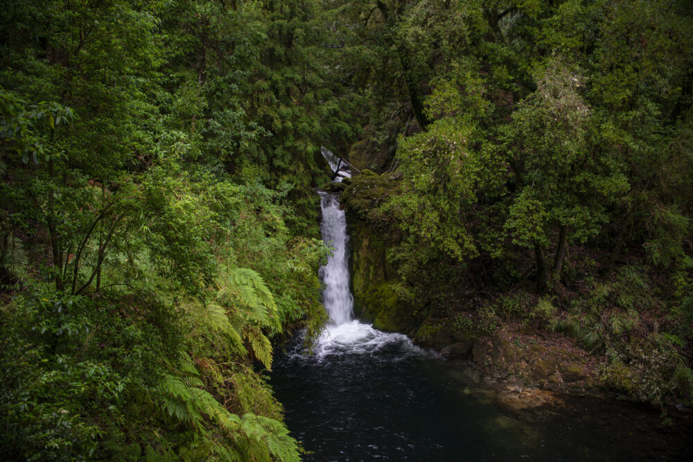
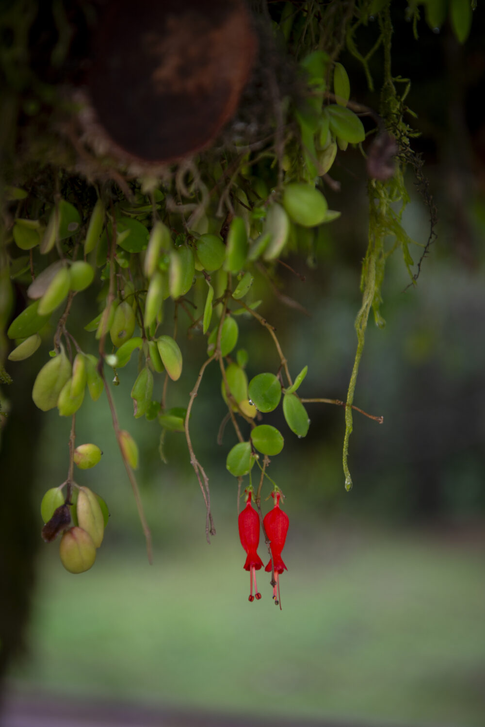
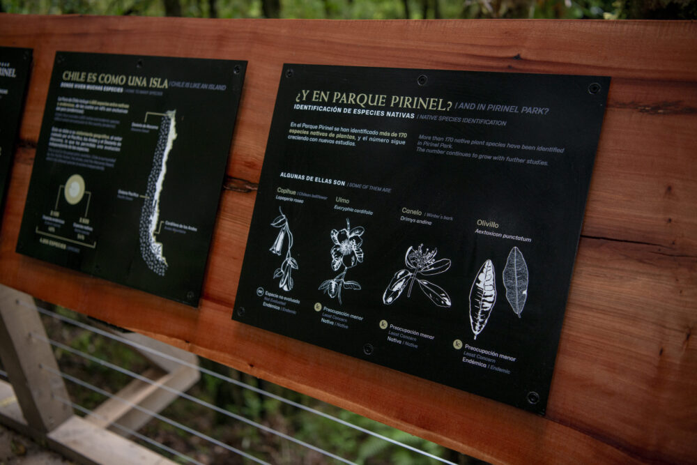
For example, the copihue can be seen along much of the trail. Also, the poe—known as chupalla or chupón—can be seen growing on some tree trunks. Other trees include the ulmo, olivillo, coigüe (notably, there is one over 600 years old), oak, raulí, and lenga. Amid the vegetation, you can hear the song of the chucao and watch it dart through the greenery of the landscape. At the end of the boardwalk is the Pirinel Waterfall. It is named after the estero, a stream that originates from the volcano and flows into the Enco River. Three other trails branch off from the waterfall area.
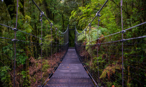
One is Las Vertientes, a medium-to-high-difficulty trail that is 2.6 kilometers long, with an estimated one-way time of two hours. Another is Bosque Antiguo, a medium-difficulty trail that is 2.9 kilometers long, with an estimated one-way time of two hours and twenty minutes. And there’s Del Silencio, a moderate-difficulty trail that’s 2.6 kilometers long, with an estimated one-way time of two hours. As you continue along the Las Vertientes trail, one of the main attractions is the bridge—it’s a suspension bridge.
From here, you can see a stream. The trails are interconnected, and they all lead to La Raulivera, which is described as a natural amphitheater overlooking the Mocho Choshuenco volcanic complex.
Conservation
One of the park’s purposes is to dedicate the land to science and conservation. That was its original design. They spent four years studying the area: “We started out with scientists, assessing the ecological values and determining what the conservation strategy should be.”
“I would say that one of the defining characteristics of this project has been the perseverance and caution we’ve shown in understanding the role we want to play and in trying to develop a conservation model that makes sense. And the fruit of all that effort—of all those years studying this—we were finally able to see it when we began the trial run,” explained Nicolás Mora, director of conservation at the Luksic Foundation.
The situation in Chile and around the world related to the biodiversity crisis, stemming from climate change, was part of the studies they conducted, which helped identify the gaps that exist in the country, he said. “That, in a way, leads us toward the goal of conservation and science,” he said. But that task must be undertaken in partnership with humans. “Today, modern conservation includes productive activity; it includes humans. Humans are also part of this.”
“It’s not about putting a lock on it, so to speak, and forgetting what’s there; it’s also about becoming part of it.” That, Mora affirmed, is the only way to achieve sustainable models that will endure over the long term. “The main goal here is precisely to preserve this place in the best possible way for the future. But we know that this goes hand in hand with the communities and with environmental education. That’s why the park is open to the public today. The idea is for the public to come, learn about the park, visit with their families, and explore it,” he said.
Thus, infrastructure was a key element in its development. As Mora explained, a fundamental part of the original design was how the park would integrate into the landscape: ‘how we tried to make our intervention as minimal as possible, while still serving our purpose, which was to conserve, to generate scientific knowledge, and to create a space for outdoor education—an outdoor laboratory. Therefore, from the project’s original architecture and its development, the idea was precisely how we would integrate into the landscape.
If you go there—when you enter Pirinel Park—it’s somewhat hidden; the infrastructure is truly minimal, just enough to support the model we have, and as you walk into the park, the access infrastructure gradually comes into view.”
Mora emphasized that this project has had strong ties to the community from the very beginning: “This is not a project for the community, but rather a project with the community,” he said. “From the start, we’ve tried to instill that throughout the entire process—to build that collaborative network.”
“Today, for example, we aren’t charging an admission fee to people from Choshuenco, Punahue, Paillahuante, or Riñihue; they can enter the park for free.” Along with that aspect of the model they’re implementing, he noted that it’s also important to incorporate environmental education through partnerships with local schools. It is in this context that they are developing the Aula Pirinel initiative.
He explained that the challenge is “how we can bring students from schools in Choshuenco, Panguipulli, and the Los Ríos Region to visit the park so they can marvel at everything we have there.” In a way, the park’s infrastructure is also designed to welcome students and visitors, so that each of them will, hopefully, leave having learned something.